There is one cycling event I have ridden every year since I started long distance cycling five years ago, the 300 km brevet around Mt Fuji organised by AJ Nishitokyo. It was my introduction to randonneuring in 2012. This year I rode it for the sixth time, with unexpected results.
For the first four years I rode my Bike Friday Pocket Rocket, a folding road bike with 20″ (ETRTO 451) wheels. Last year I used my new adventure bike, the Elephant Bikes National Forest Explorer, 650B randonneur bike with disk brakes. Most of my cycling friends expected the bigger wheels would make a big difference on the completion time: The event has a 20 hour time limit and I had always struggled to stay under the limit. The last two years on the Bike Friday I had finished with 11 minutes and 15 minutes spare. The first time on my NFE I finished in 19h 45m again – the same time to the minute as a year before! The Bike Friday really has been a great bike for me and if I had not been fast on it, that wasn’t because of the bike but because of the engine! 😉
Because this event starts at 22:00 at night, with the first 6 1/2 hours of riding through the night, getting enough sleep upfront is essential. I tried to avoid staying up much after midnight for the week before the ride and took short daytime naps on Thursday and Friday. On Saturday afternoon I went to bed at 15:00, planning to sleep until 18:00, but mostly rested. I don’t think I slept more than about the last hour.
I left home at 18:50 to cycle the 28 km to the start in Machida and was intending to ride home after the event too. So that’s 56 km on top of the 304 km of the event itself. I took it very easy, knowing I’d have plenty of time.
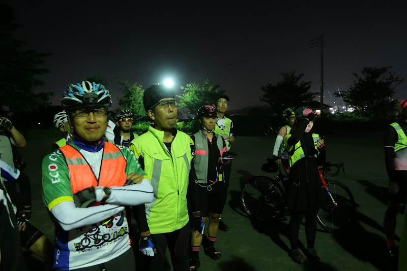
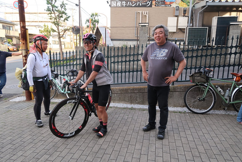
I bought bananas at a convenience store a few km before the start. The reception at a park near the Cherubim bike shop in Machida opened at 21:00. I saw many new faces, including younger riders.
It had been warm and sunny all day and the forecast for Sunday was the same, so I didn’t even wear a windbreaker at the start. Only for the early morning descent from Gotemba to Numazu did I bring my nylon rain pants, because that was going to be the coldest time of the night, before sunrise and going downhill for about 25 km.
The briefing started at 21:30. There aren’t any changes to the course from the year before, but temperatures would be quite different as last year’s event had been run about 8 weeks earlier in the year. Knowing it would get hot on the long climb on the opposite side of Mt Fuji, I decided to build up a decent time buffer until the morning, when it was still cool, so I would not risk overheating as much later in the day.
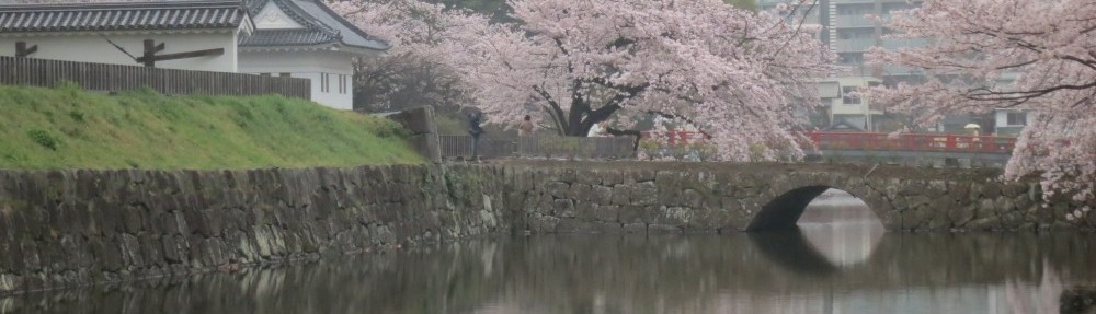
After the security inspection we started. The route to the untimed checkpoint in front of some public toilets in Enoshima (38.6 km), where we had to collect a signature on the brevet card from staff members, was pretty urban, with streetlights, cars and traffic lights all along. I made good time and arrived before midnight. It helped that I didn’t have to stop to take off a layer.
There was a large group motorbikes near the checkpoint. I came across groups of bikers throughout the ride, including several encounters with Bōsōzoku clubs making a racket on their two stroke bikes and weaving about on the road.
About half of the 35 km route from Enoshima to PC1 at Odawara I was drafting other cyclists, similar to last year. The Nitto Randonneur bars make it much easier to use my drops to get into a more aerodynamic position to save energy. I arrived at PC1 at 01:26, with 86 minutes spare, 5 minutes more than last year.

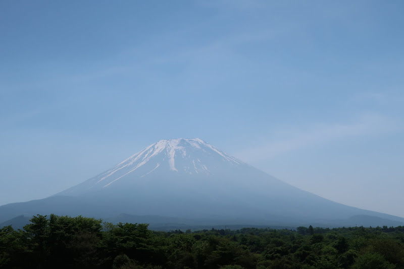
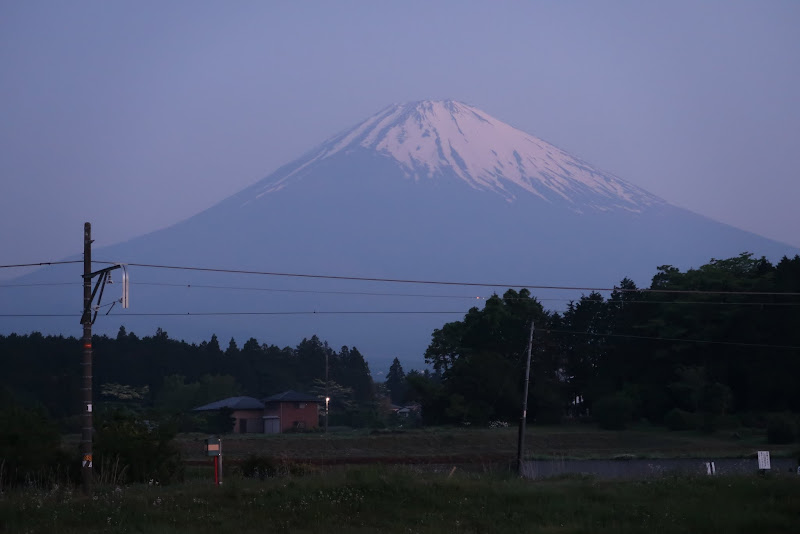
After Odawara the route starts climbing until it levels out at an elevation of about 400 m around Gotemba. I was still riding mostly with other cyclists. In Gotemba I put on my wind breaker and nylon pants for the descent. I rode down to Numazu with another cyclist, separated only temporarily when I stopped to take a shot of the first Mt Fuji view around 04:00, still about half an hour before sunrise. A waning moon hung in the eastern sky. It reminded me that we’re only three months away from the total solar eclipse in the western US on Aug 21, 2017.
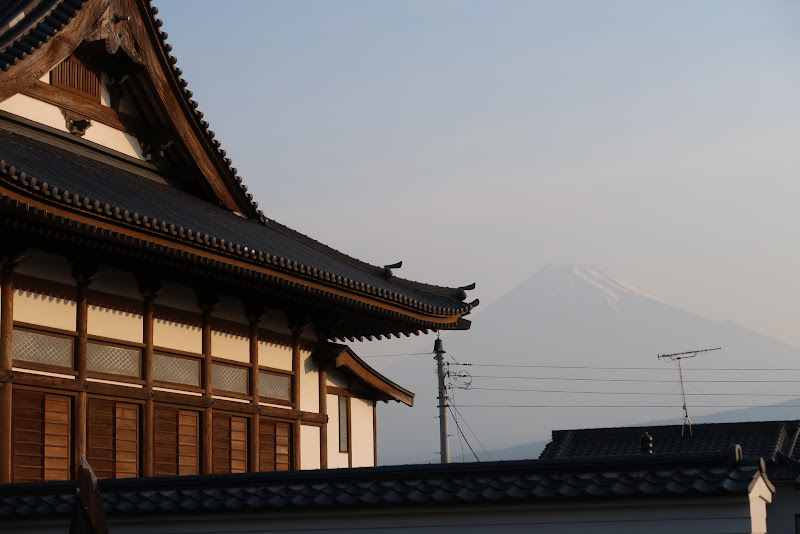
Though I was yawning at times, I felt no urge to take a nap and continued on to Fuji city, maintaining my pace. I only stopped for a few quick photos of Fuji in the early morning light.
I counted down the distance to the Fujikawa bridge, where the road turns away the coast. I used the public toilets near the Tomei expressway entrance, so I could avoid queuing at PC2, only a couple of km up the road.
I tried to take pictures of Mt Fuji from the south-west, but the sun was behind it and the air was too hazy.
I made it to PC2 by 06:56, 132 minutes ahead of closing time. This was 26 minutes earlier than the year before.
It was still early in the morning, but it was already getting warm. From here it was about 36 km uphill, from close to sea level to about 1100 m. Some of the road was shaded under trees, but most of it was exposed to the sun.
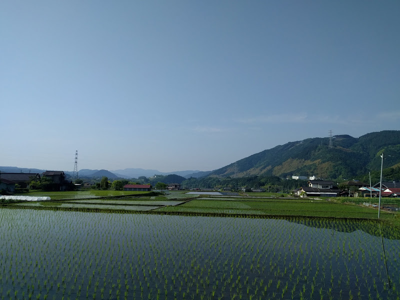
Having done this brevet before, I knew this part of the ride was both rewarding for its views of Mt Fuji and green landscapes, but also tough for the relentlessly climbing road where I was pedaling in the heat. I had also done it on a rainy day, with only a few degrees above freezing, that wasn’t much fun either.
Until the climbing started I had consoled myself that even though there wasn’t a cloud in the sky, the elevation (adiabatic cooling) would somehow make it bearable. Somebody forgot to pass that message to my Navi2coach GPS, whose thermometer displayed as high as 39 C at one point.

The air may have been cooler over the meadows and forests I was passing, but the south-tilted dark asphalt of the prefectural road 71 soaked up just as much sunshine at elevation as it would have at sea level. I was like riding on top of a barbecue. I stopped a couple of times for views and pictures and that made it easier to continue.

I made it to the top around 10:30 and pulled into a parking area and view point overlooking Motosuko (Lake Motosu).
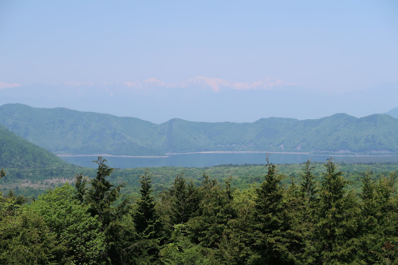
I took a couple of pictures, ate a banana and got back on the bike again. After a bit of rolling terrain the road descended. The forest surrounding it is called Aokigahara (青木ヶ原), also known as the Suicide Forest for the number of people who picked it to take their own lives there.
At the bottom of the descent, the minor road joined major Rt139, which is usually crowded with cars. Some of it’s surface is very rough, especially around Fujiyoshia. This is where the wide tires of my NFE really helped. They give me the confidence to descend faster even where the road surface is far from perfect.

After Fujiyoshida came a 25 km fast descent down to Tsuru. I didn’t have to pedal much and trusted my tires to deal with the bumps and cracks at speed, with several other cyclists in trail, none of whom ever tried to overtake me until after the road leveled out. It was till before noon and heating up more and more.
At 12:20 three of us pulled into PC3 at Tsuru. That was 92 minutes ahead of closing time. I knew I had previous made here with only 35 minutes spare. I was now 47 minutes ahead of last year’s result. But it was still going to get hotter for another hour or more from here.
The final 66 km from Tsuru to Machida were the hottest part of the ride. I used my lightest gear a lot, climbing slowly to avoid overheating. I am not usually someone who worries much about heat stroke. I drink sufficient water and keep the effort down when I feel it’s getting too hot out there, but this time I was starting to worry. Three or four of us stayed together more or less continually for the last leg of the trip, nobody willing to go any faster in this heat. I counted down the distances to the top of each climb.
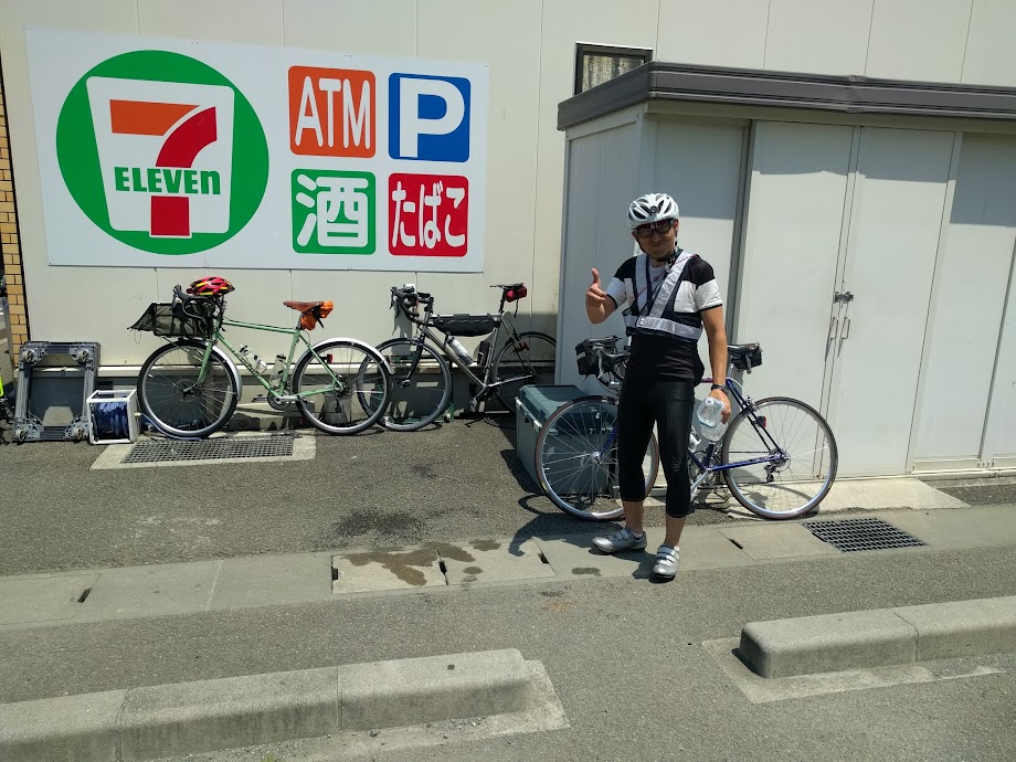
Finally we made it to Doushi road (National route 413), for a lengthy descent. we stopped at a convenience store where AJ Nishitokyo staff met with us. Some ice cream cooled me down a bit. Based on the remaining distance it looked like I could finish before 17:00, with more than an hours pare. That would be my best result ever.
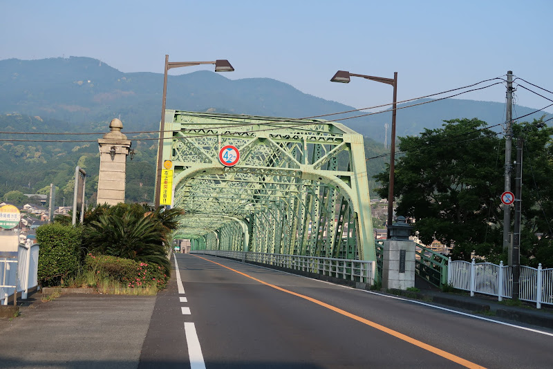
I felt relieved when I crossed the last major bridge, where I crossed back into the urban area of Sagamihara and counted down the final kilometers to Machida.
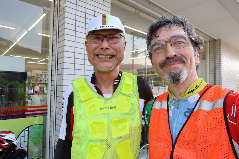
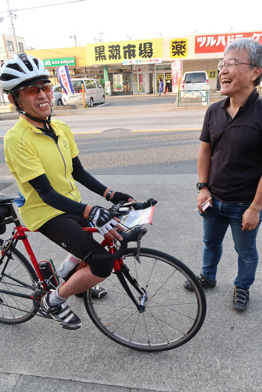
At 16:51 I pulled up in front of the Cherubim bike shop, together with one of the other participants. I had finished 54 minutes faster than in 2015 and 2016.
I’m very happy to have made it safely. I thanked the AJ Nishitokyo staff. As always they took good care of everyone. The route is difficult, but rewarding. I often incorporate large parts of it into other long distance rides that I do privately.
As to why I finished so much quicker this year, I am not sure. Looking at the elapsed times between PCs both years, I gained 21 minutes between PC1-PC2, another 21 minutes between PC2-PC3 and 7 minutes even from the last PC to the goal, in the heat. So I was pretty consistently faster. The first 73 km to PC1 is where I gained the least relative to last year (5 minutes), probably because I was already working hard there last year. Overall I took about a 100 photographs on both rides, so it wasn’t that I stopped less for pictures.
Perhaps my two recent rides of the Oume temple loop, with 2500-2700 m of elevation gain on 180+ km of cycling each time, helped prepare me for the amount of climbing 🙂 Whatever it was, I’m happy!
Oh, and I did ride 28 km back to Tokyo after the brevet, tired and sleepy, but I made it safely. I won’t be able to ride AJ Nishitokyo’s 400 km brevet this year due to business trips and I’m not sure yet if I’ll attempt the 600 km brevet in September again – I have DNF’ed (did not finish) it three times so far. Finishing it is a bit like riding a 400 km brevet, then finish this 300 km brevet starting from the bottom of the big climb at PC2… Pretty insane!
What I enjoy about these brevets is not just the scenery and the challenge, but also the camaraderie and shared love of cycling among randonneurs. We all have this same passion.
